Hó- és zivatarlesen
Sat24 animált mûholdkép
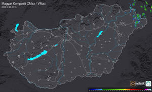
Európai radarképek
Kedves fórumozók!
Egy újabb fejlesztés nyomán az alábbi változás állt be a szakmai fórumok használatával kapcsolatban: A "Hó- és zivatarlesen" valamint a "Hosszútávú esélylatolgatások" fórumok használata ezentúl az ú.n. szakmai joghoz van kötve.
Részleteket ld. a Metnet szabályzat I/7. pontjában.
Módosítva: 2009.07.18

CIPO idézte be az alábbiakat (2006-06-11 10:58:30)
"Storm Forecast
Valid: Sun 11 Jun 2006 06:00 to Mon 12 Jun 2006 06:00 UTC
Issued: Sat 10 Jun 2006 20:48
Forecaster: DAHL
SYNOPSIS
Omega upper flow pattern is expected to attain slight positive tilt during the period ... with amplification and expansion of associated SFC high-pressure area over central portions of Europe ... which maintains advection of moist and weakly unstable air into western Europe. Strong vort max associated with SE European upper low is progged to into the S Adriatic Sea/S Italy late in the forecast period."
Havazás előrejelzés

Utolsó észlelés
Térképek
Radar
Aktuális hõmérséklet
Aktuális szél
Utolsó kép

Újabb mediterrán ciklon érkezik
Időjárás-változás | 2025-11-23 10:49
Szabályzat