Meteorológiai esélylatolgatások

Bastardi szerint a La Nina az oka, hogy megint erõs lesz Európa felett az atlanti áramlás. Ez várhatóan a La Nina gyengüléséig így marad, de Február-Márciusra akár nagyon kemény tél is lehet itt Európában.
Itt a cikk: Link
Mondjuk ez nem túl nyerõ, hogy El Nino alatt is, meg La Nina alatt is atlanti áramlás van Európában??? Szemétség...
Eredetiben: "Until the La Nina can weaken, and the seasonal feedback change, there is no reason to think any blocking will back west. That process though starts in February and that means a much colder temp pattern with the threat of backing blocking, the kind of pattern that can mean late winter and early spring cold for Europe is something very much on my mind. However for now, I would not expect any kind of blocking that would back up from where it develops in Scandinavia, and the next 10-20 days should feature the block weakening and the spread east of maritime air to replace the continental air the next 10-15 days. Such a pattern can lead to enhanced precip and since its winter, more than normal snowfall before it can get mild in western and central Europe the next week or so. "
Utolsó észlelés
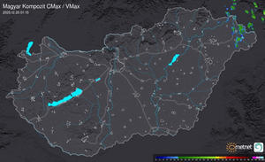
Térképek
Radar
Aktuális hõmérséklet
Aktuális szél
Utolsó kép

Vasárnap itt az újabb hullámzó front
Időjárás-változás | 2025-09-12 13:30
Szabályzat